
Tailored Solutions to deliver your business needs
Discover how Kushai tailors drone, AI, and data solutions to meet the unique needs of diverse industries and communities.
Mining, Construction & Maritime Ports
Infrastructure assessment
Secure perimeter and asset monitoring
AI-classified edge intelligence

Environmental & Biosecurity
Feral animal tracking with AI (Feral-AI)
Marine debris detection and mapping
Ecosystem and conservation support

Cultural Heritage
Indigenous-led mapping of sacred sites and rock art
Knowledge sharing and training for ranger groups
Aerial cultural preservation without intrusive surveys

Emergency & Disaster Response
Flood, fire, and cyclone damage assessment
Live aerial data for rapid decision-making
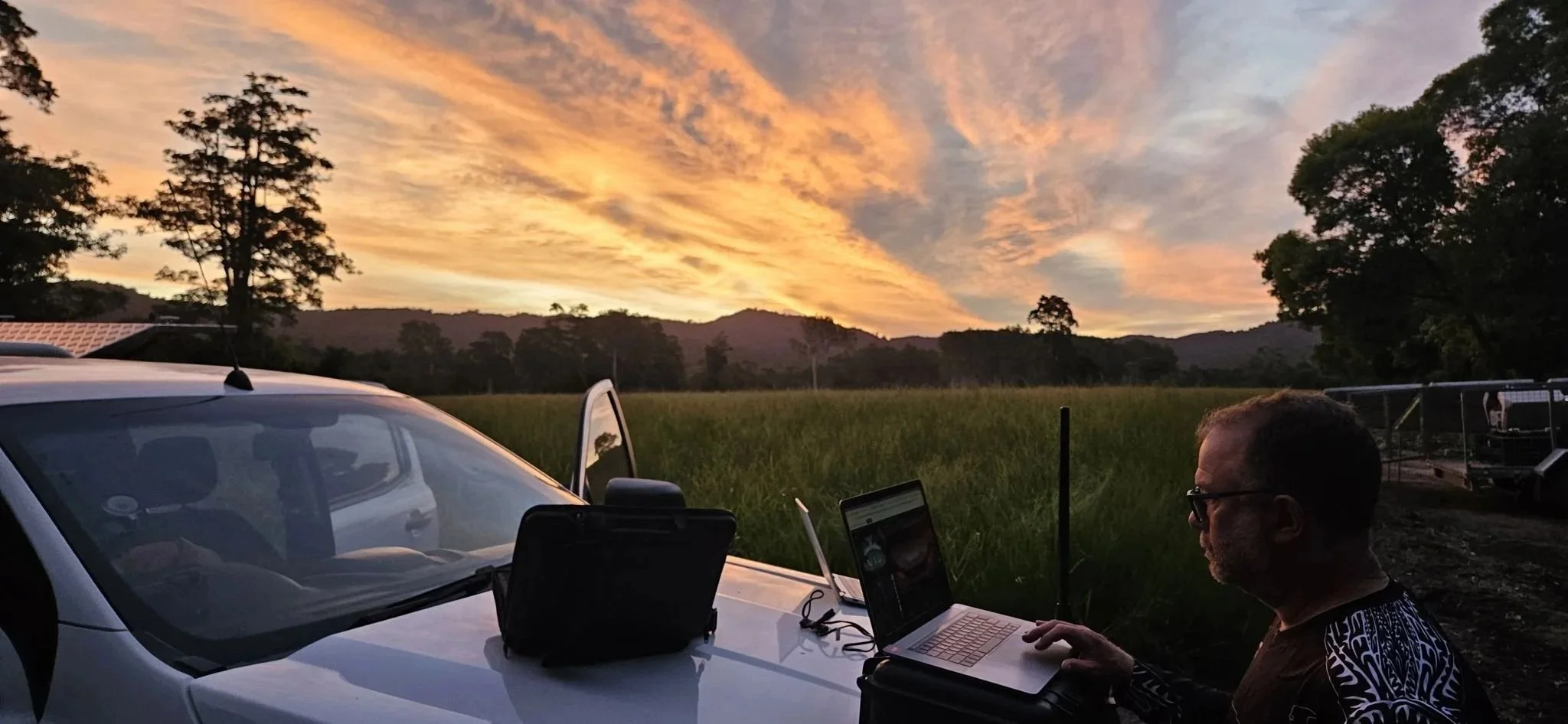
Operates off-grid when conventional comms fail
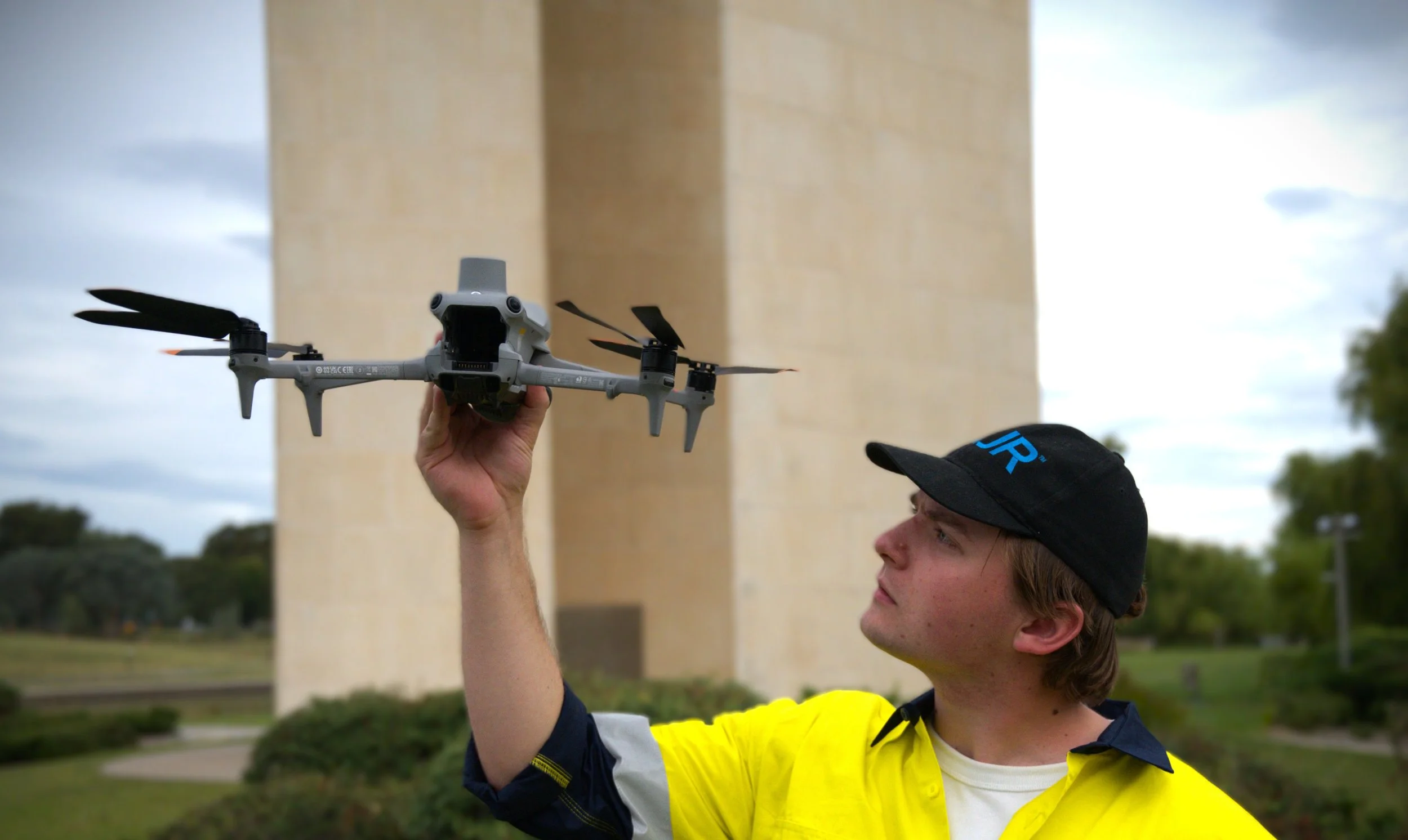
At Kushai, we help our customers solve complex challenges with drones, AI, and data — delivering safer operations, smarter decisions, and sustainable outcomes.
Drew Hammond Kushai Co-Founder & Director